Maytime: May 7th-May 21st
After months of being excited for the start of my spring/summer hiking season, I got off to a pretty rocky start. Firstly, I wasn't able to hike in April due to high snowpack where I was living and a need to stay in the area for medical reasons. Then I was going to start right at the start of May after helping my partner move into their new house... but then I got sick and had to wait a bit. Then I had a couple of important things planned for the middle of the month, and then I went down to California to hike for what I hoped would be a couple months. However, after climbing only my third peak I had to rush back north to help my partner move after their new living situation turned pretty bad. And after dealing with all that stress plus a few other things I didn't mention, I needed a few weeks to recover. Eventually, I got back out hiking, abandoning my plans to hike in CA in favor of peaks in OR after seeing the cost of living down there. These are the peaks that I was able to do during that month of chaos, so enjoy ;)
Hamaker Mountain, May 7th
Hamaker is a paved road all the way up, and when I did it the last of the snows were melting, so that was sick!
Bryant Mountain, May 8th
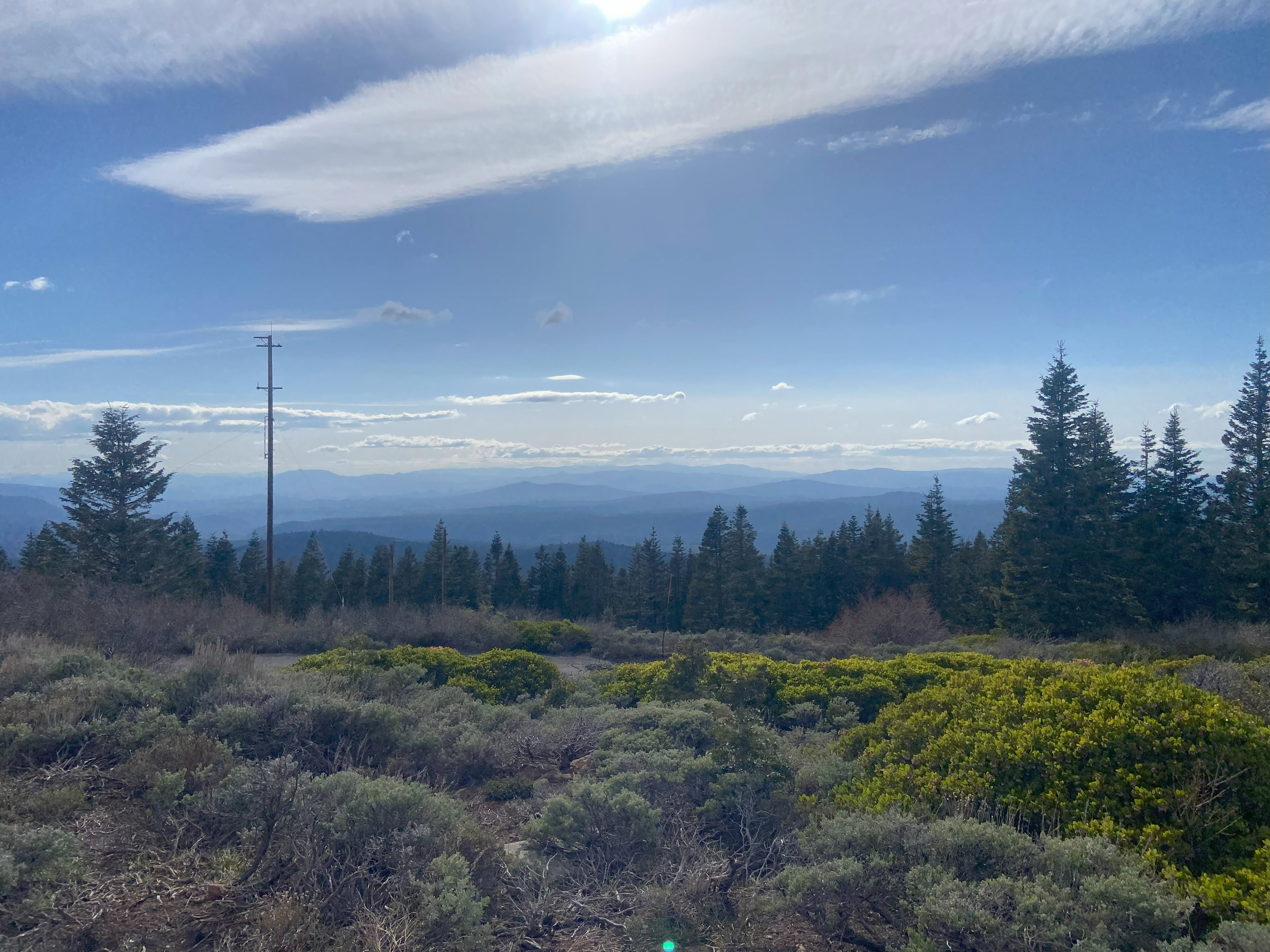
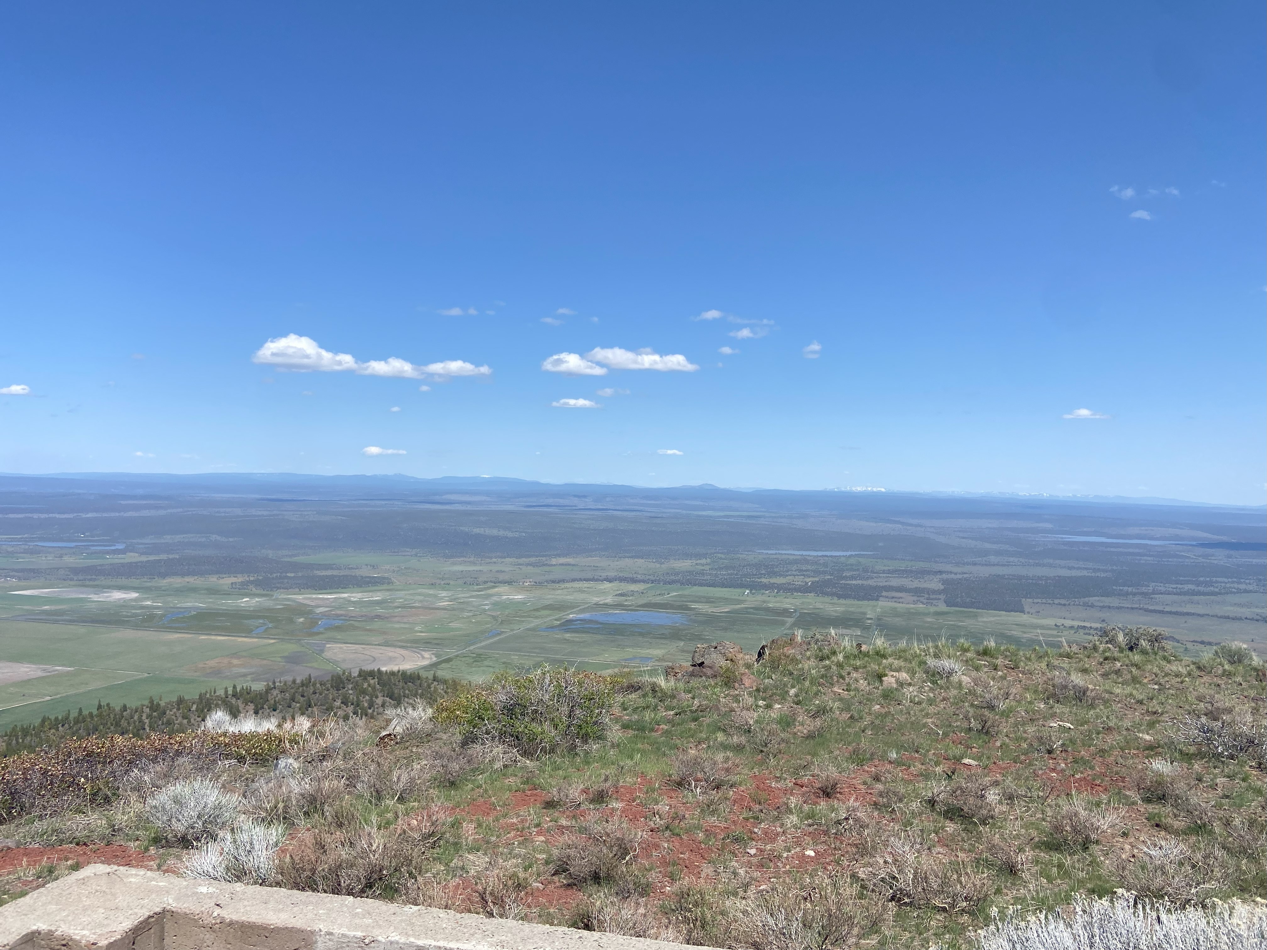
Climbing Bryant was a bit odd for me. I approached via the south on Bryant Mtn Rd, which was a dirt road of inconsistent quality with the worst at the start with some serious erosion. I'd recommend high clearance. Anyhow, I parked my van at a pulloff just before the powerlines and biked up to the gate, which was posted. So I wandered through the woods instead of hopping the gate and wowza that was a mistake - the brush is THICK. I eventually found my way back to the lake and then along a few ATV trails back to the road, and followed it up. Delightful views on the way up and spectacular views on the summit! Shasta, Melaski, Crane, Eagle, and all the peaks surrounding them were all vibrant! This was my first true hike since Grays Butte back in November and I cried at the top I was so happy to be back doing what I loved :)
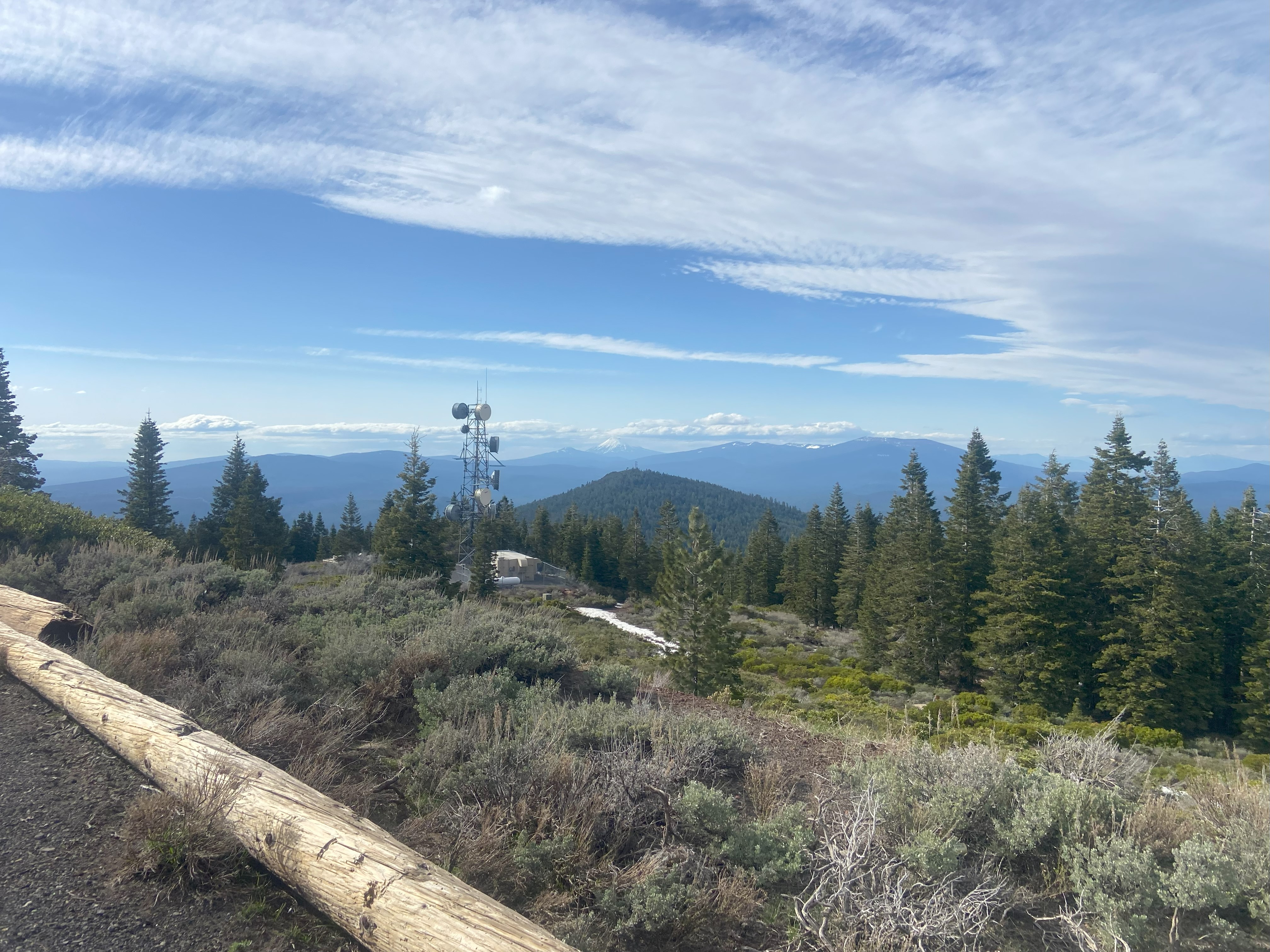
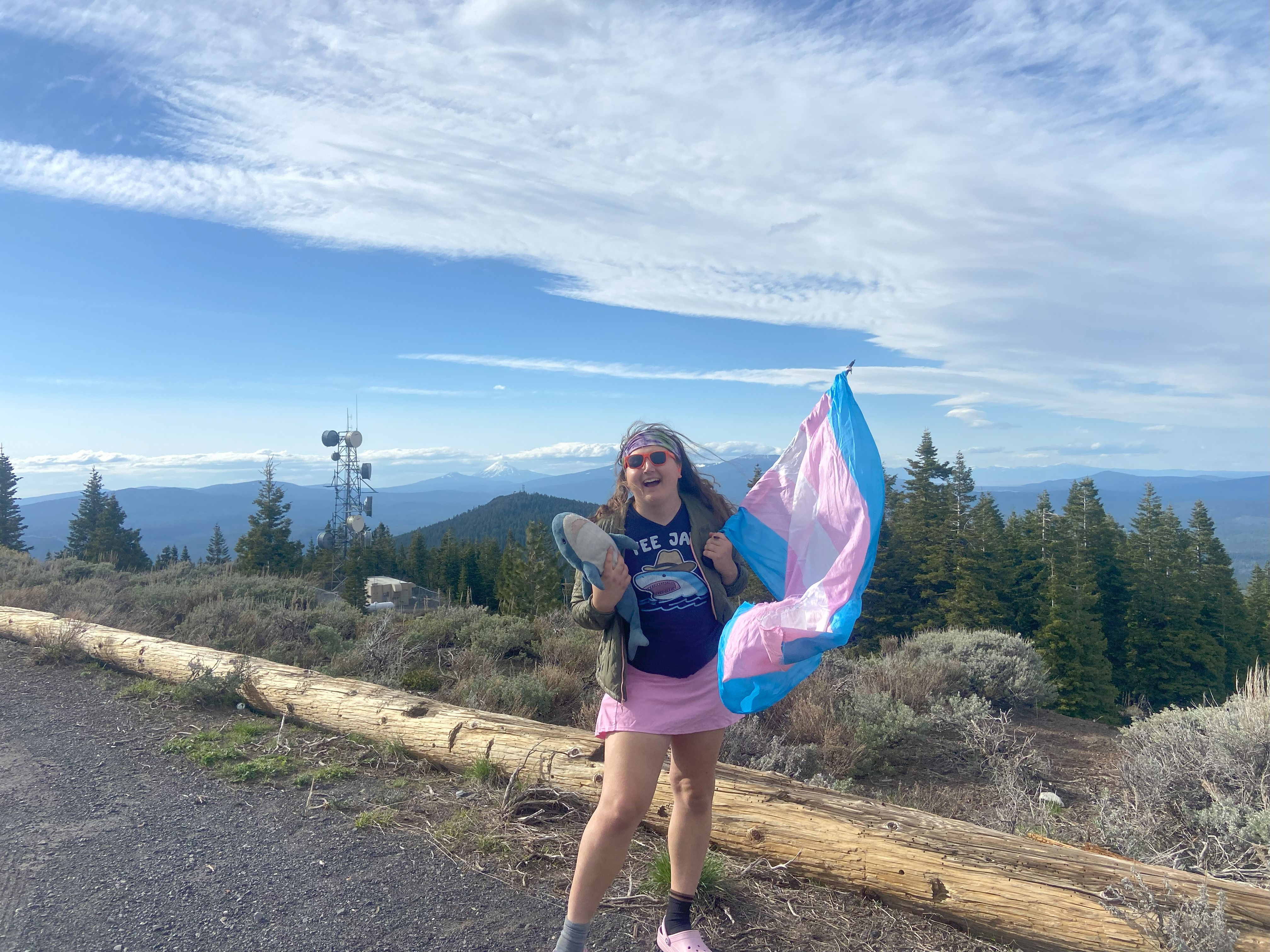
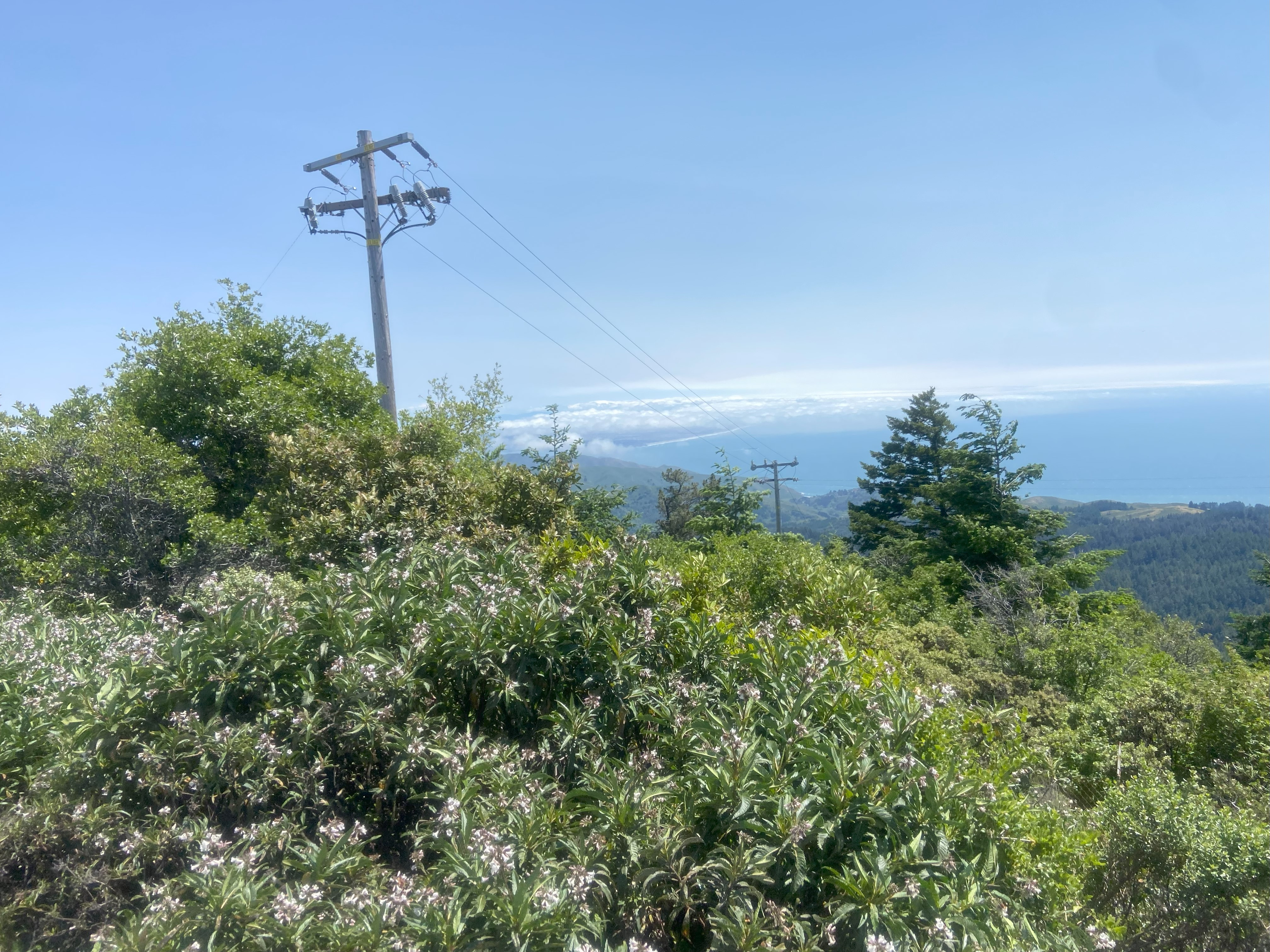
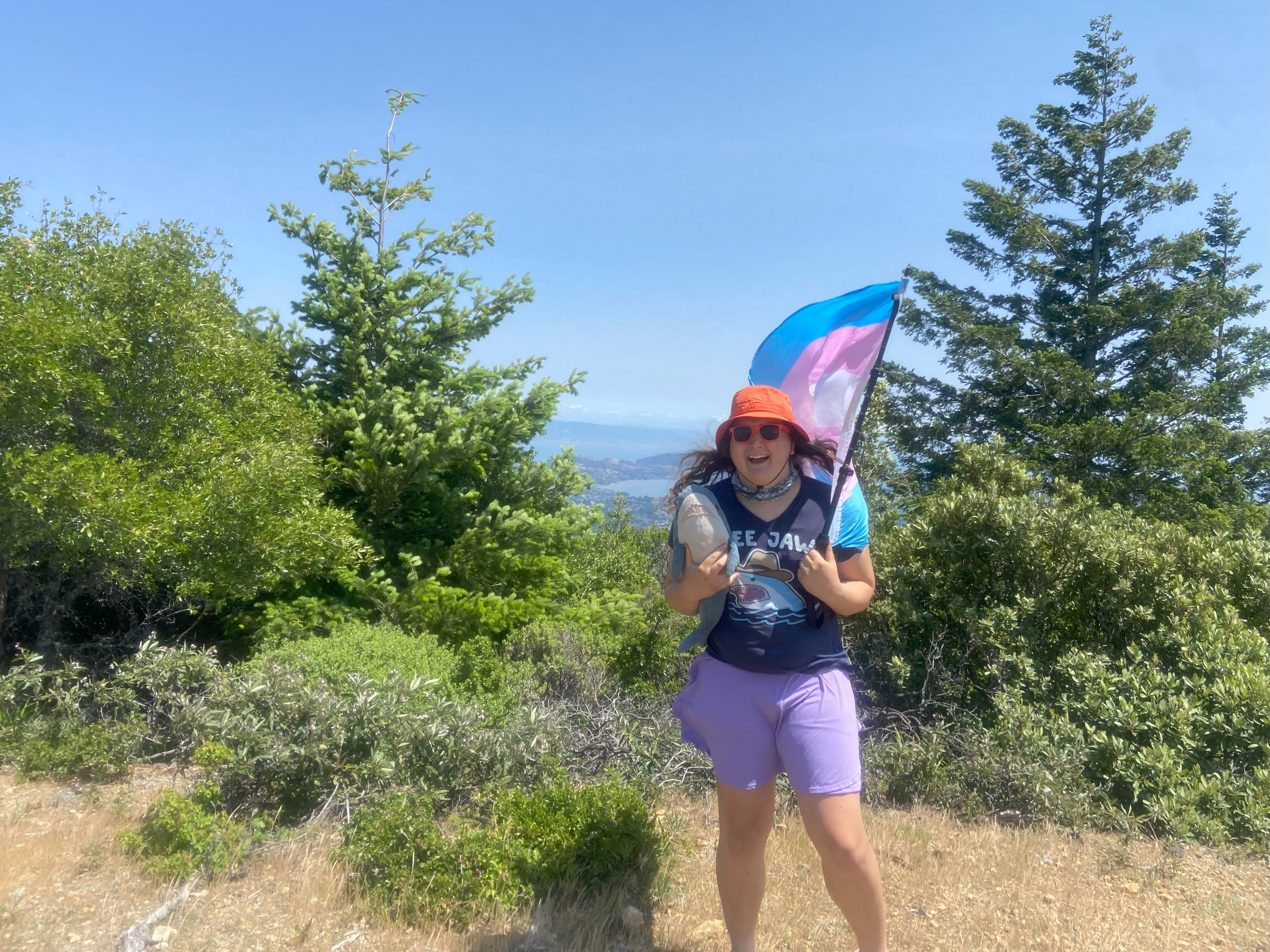
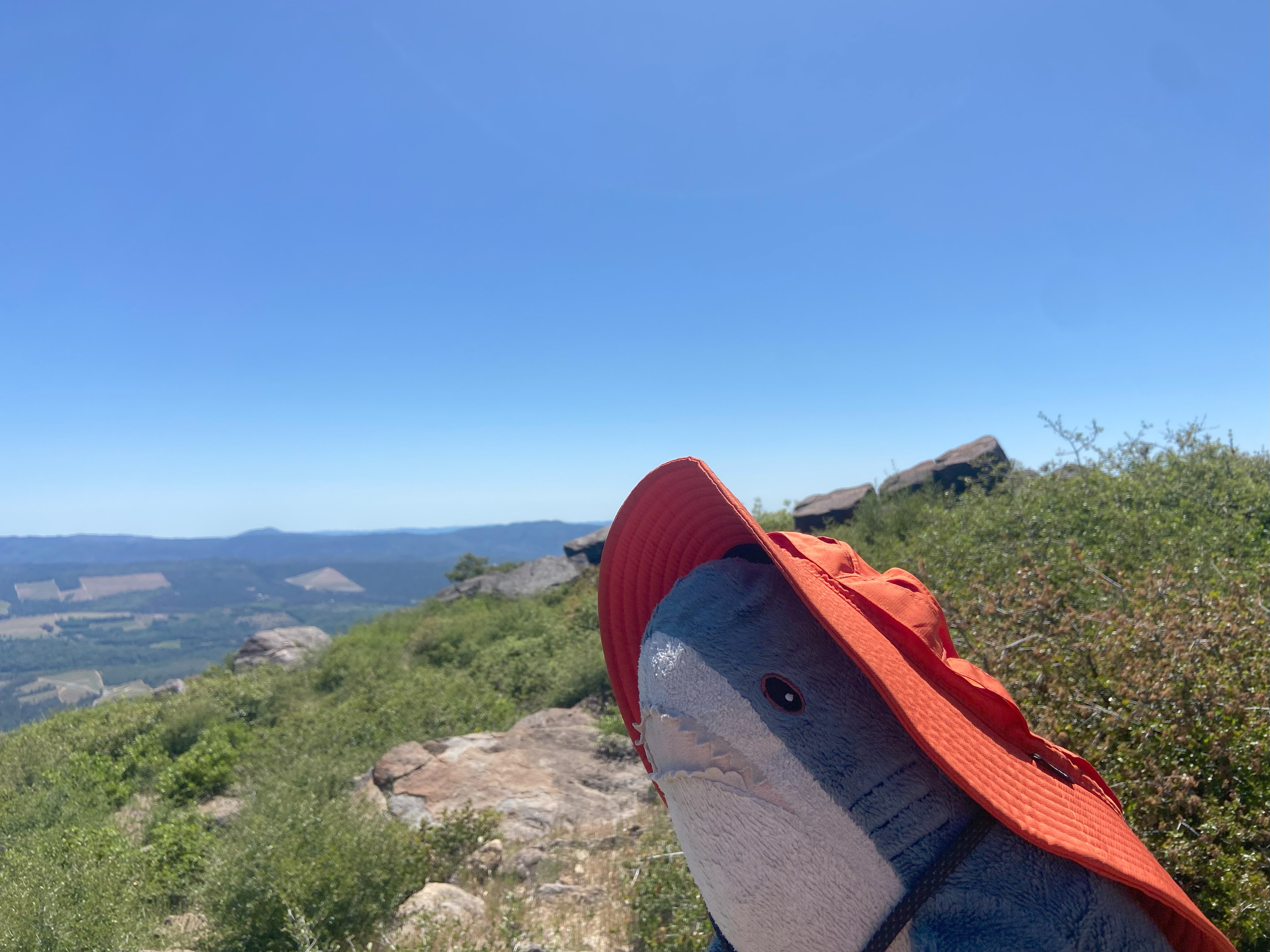
Tamalpais Mountain, May 17th
Tamalpais is pretty well-documented and within a state park, so I'll just add that the final whack to the top is quite brushy and I'd recommend long sleeves!
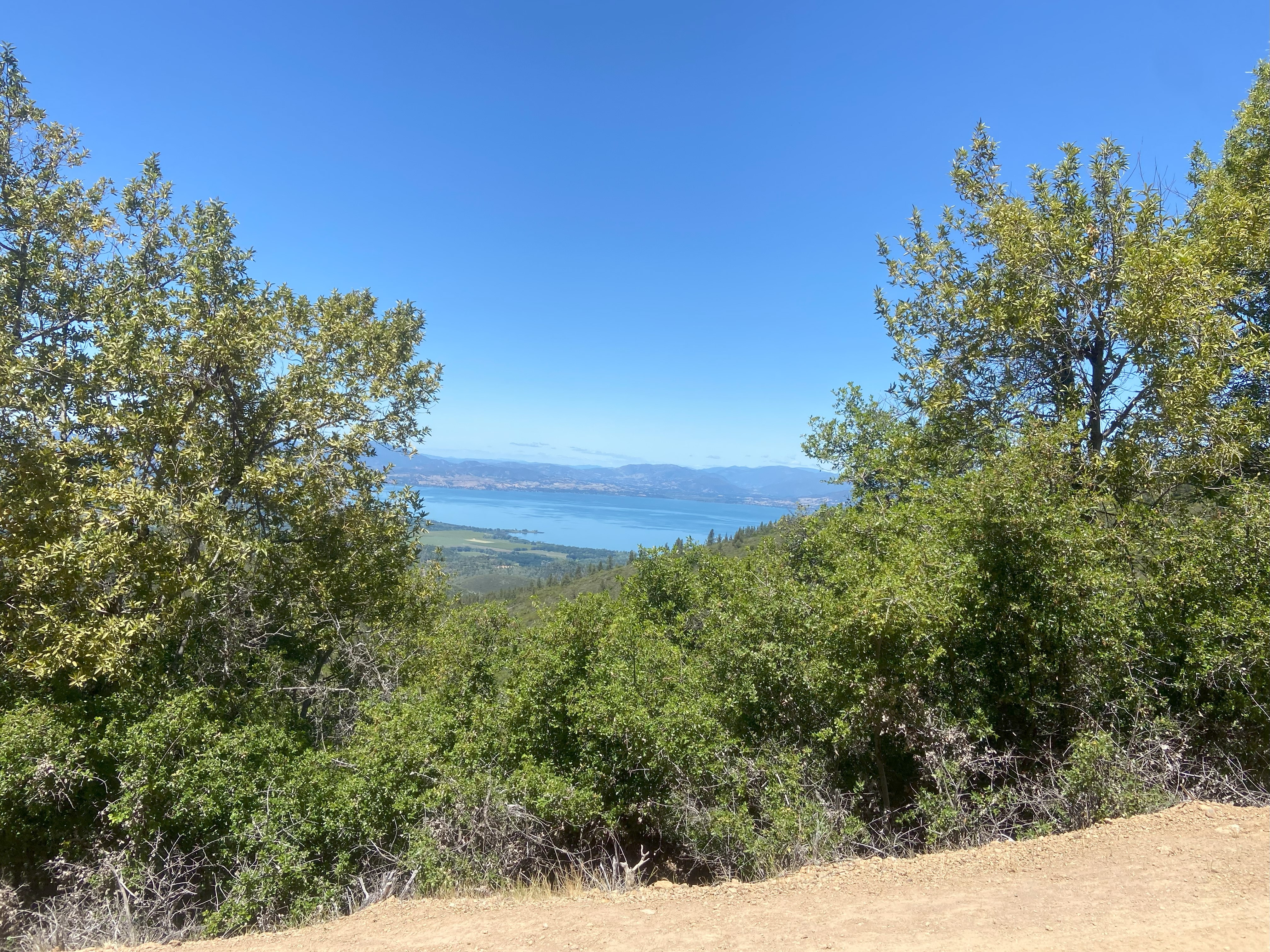
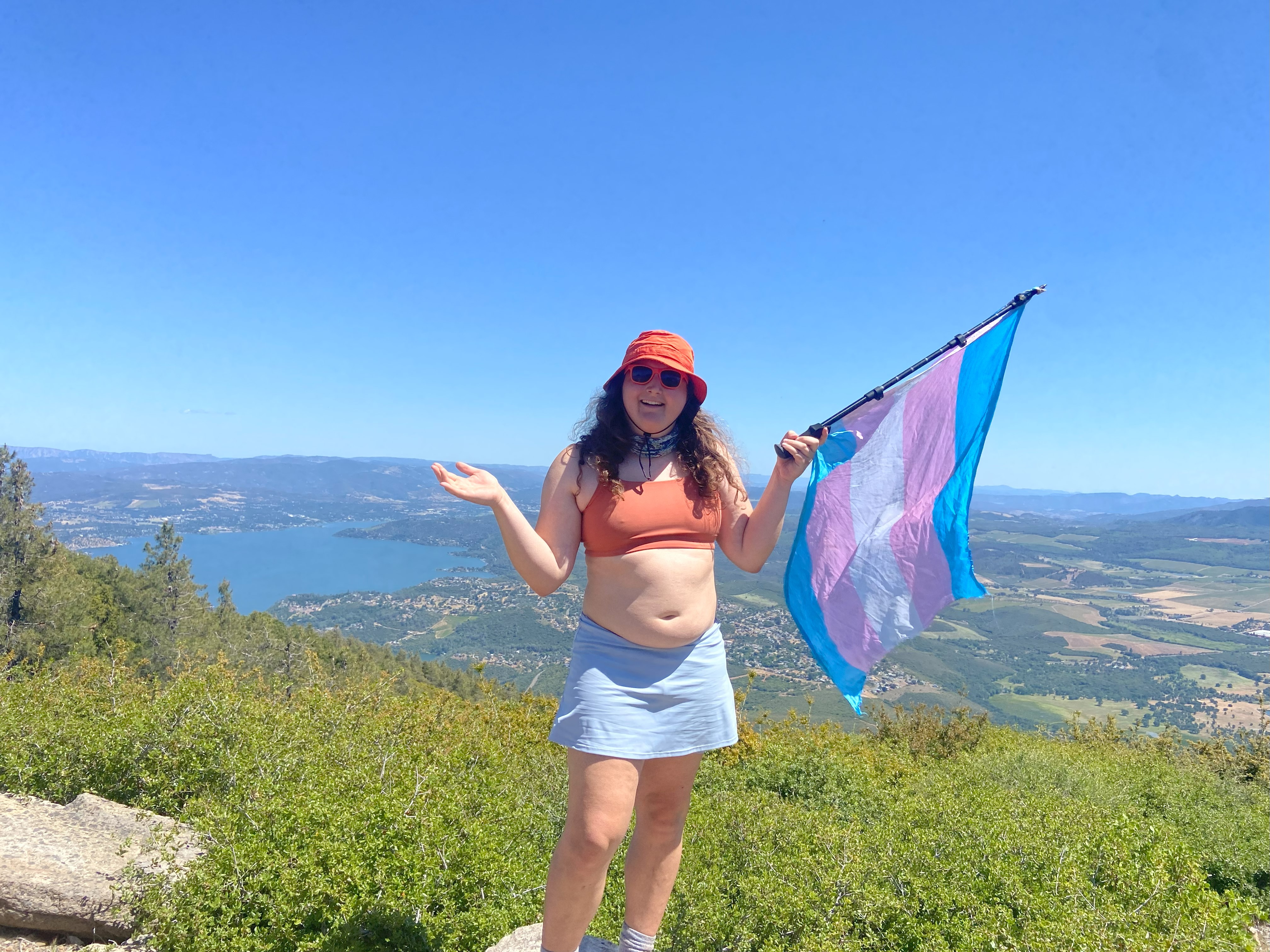
Konocti Mountain, May 19th
Konocti is well documented and in a state park, but I find it quite odd how many amenities (bathrooms, benches, trash cans) there are along the route up, which is just a well-grated dirt road you can't even bike up. Would it have really been that much pricier to cut a hiking trail?
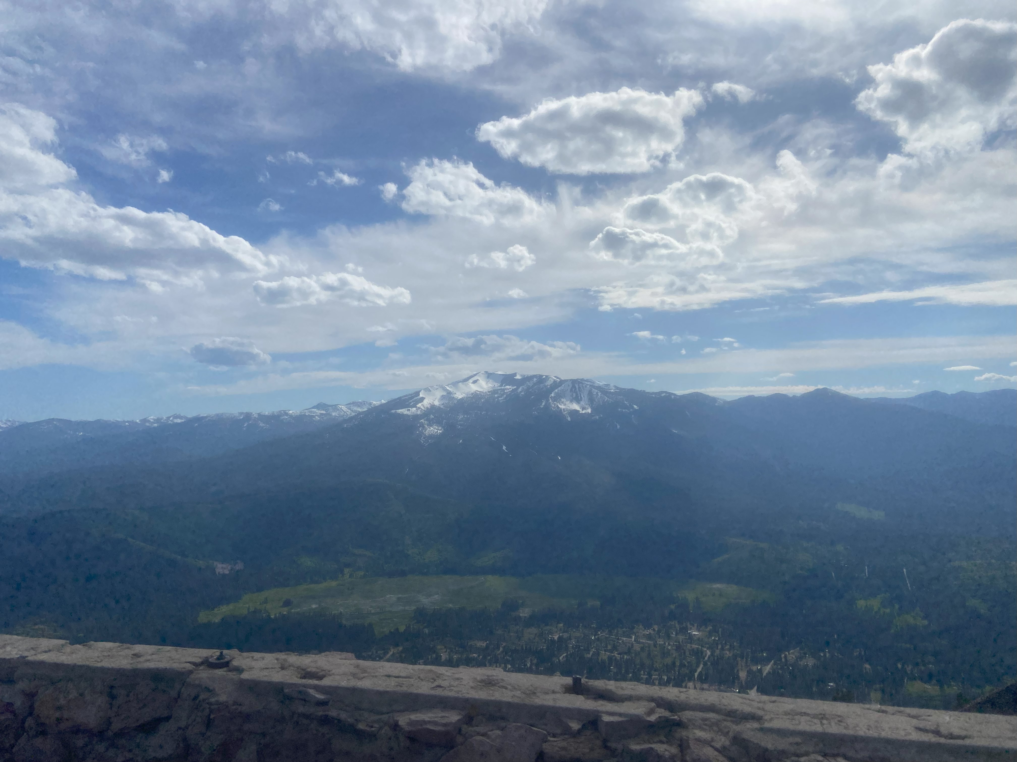
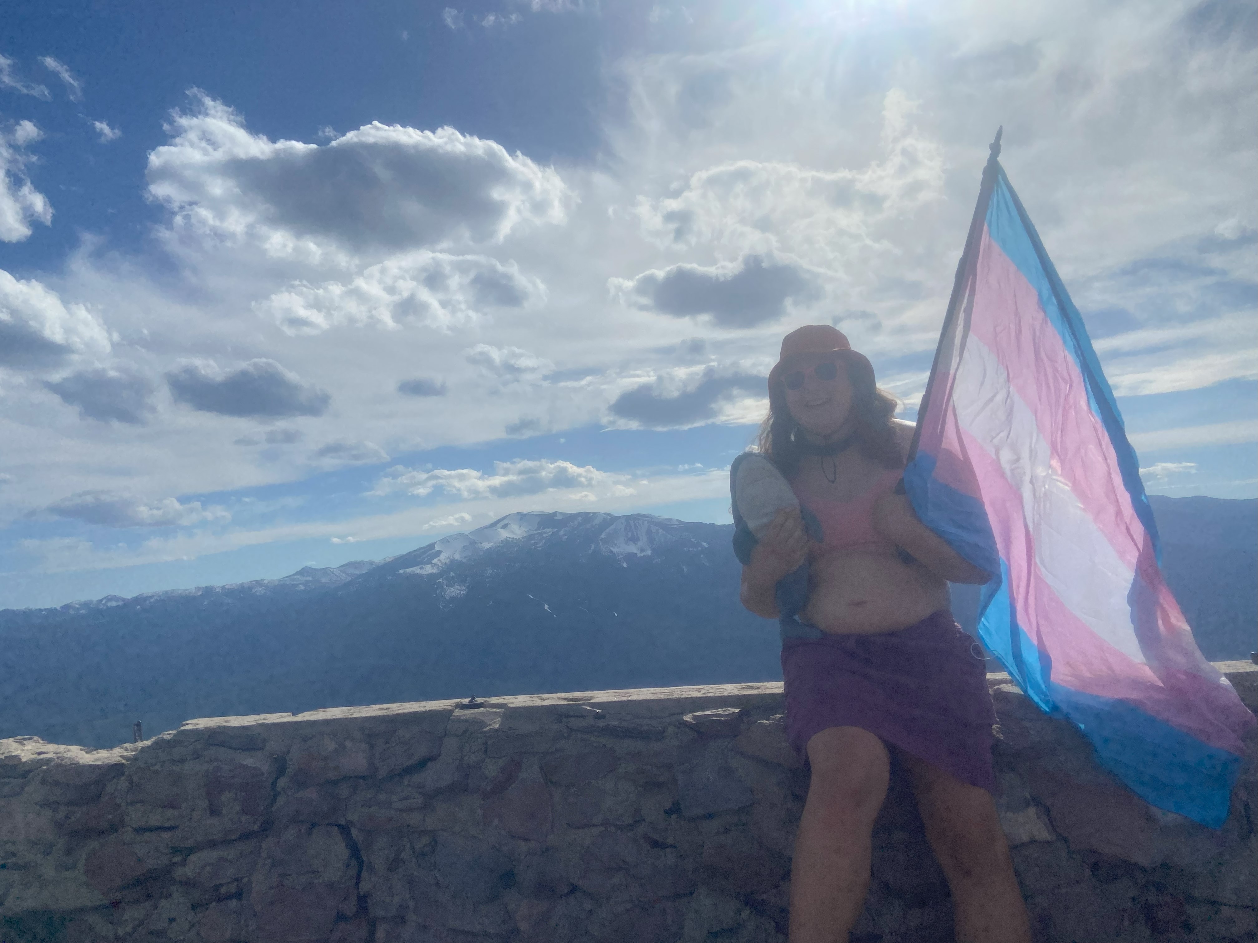
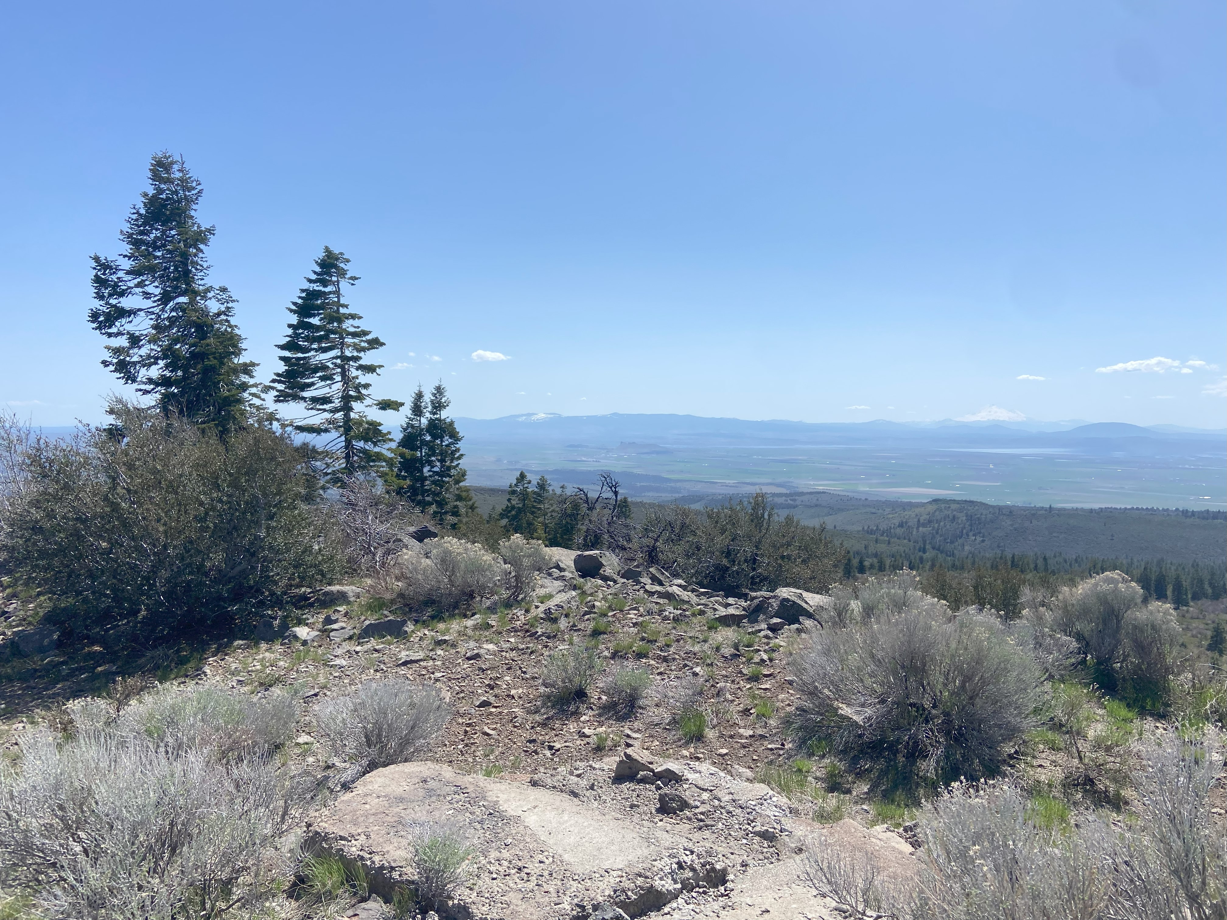
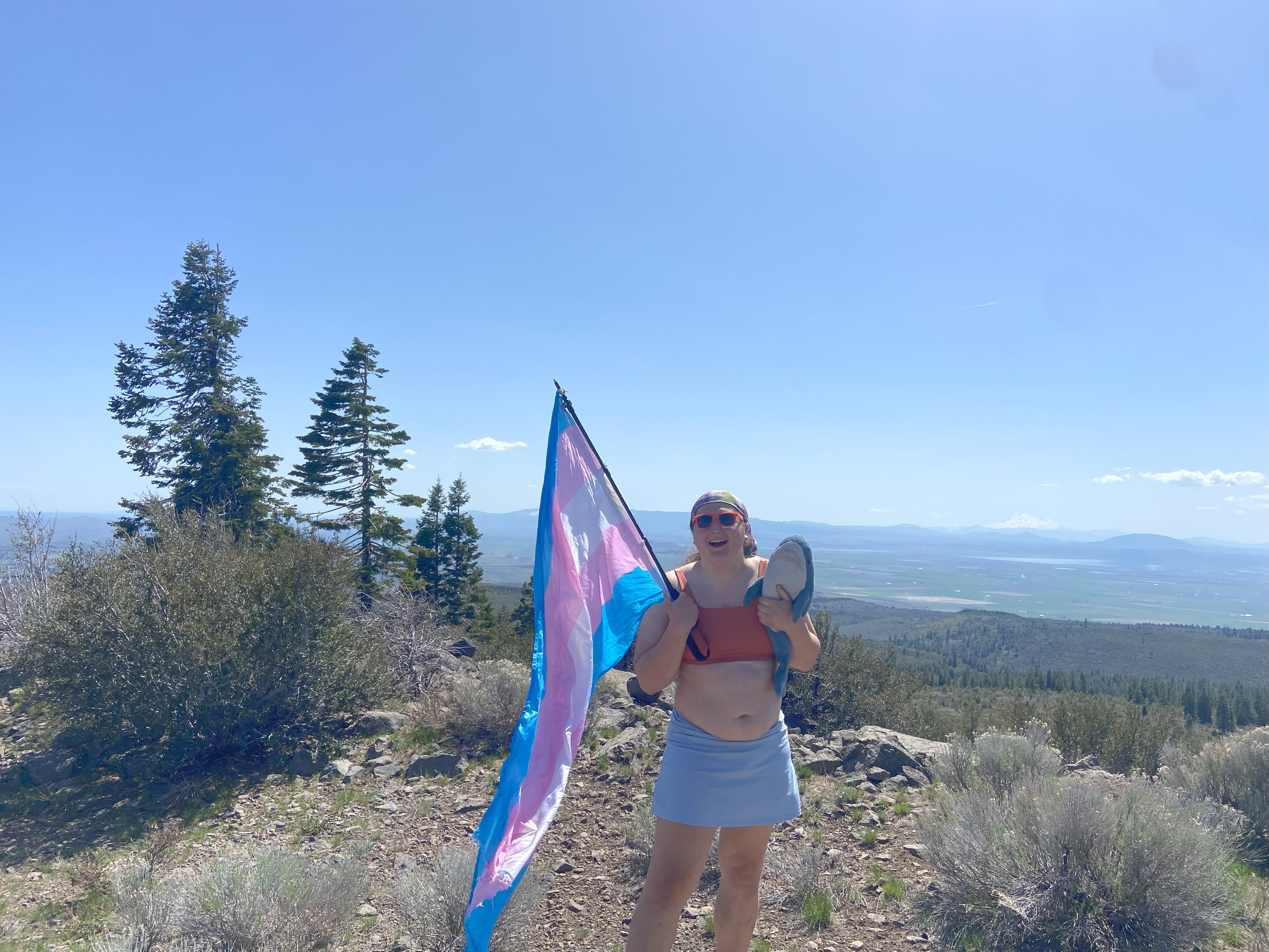
Black Butte, May 21st
Black Butte Trailhead can be accessed with a vehicle with high clearance, although the road isn't too terrible. The trail meanders around the peak and honestly I would strongly advise against hiking with snow in the spring cause this mountain might be the steepest peak I've ever climbed and the avalanche danger is NO JOKE. Luckily there was no snow, but I did still worry about rockfall. Anyhow, it was a wonderful hike with sweeping views of both Shasta and Eddy. Would highly recommend :)